17 May 2022 Impact Based Weather Warnings for Western Cape and Namaqua: 17/05/2022 – 19/05/2022

Impact Based Weather Warnings for Western Cape and Namaqua: Veld Fire Conditions
Please find included the Impact Based Warning for the Western Cape and Namaqua Region of the Northern Cape
| Hazard | Affected Municipalities | Valid From (SAST) | Valid To (SAST) |
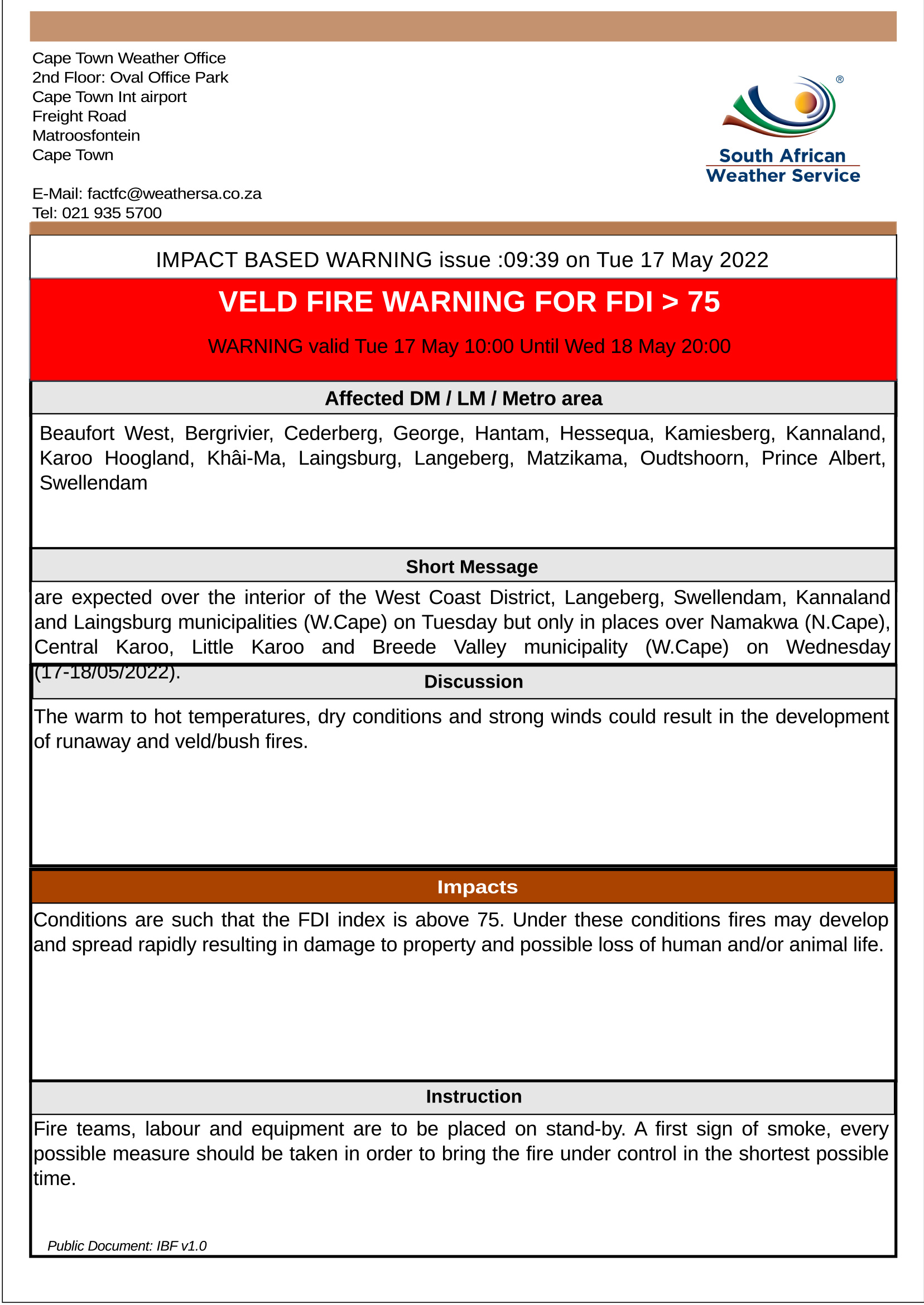
| Veld Fire Conditions | Beaufort West, Bergrivier, Cederberg, George, Hantam, Hessequa, Kamiesberg, Kannaland, Karoo Hoogland, Khâi-Ma, Laingsburg, Langeberg, Matzikama, Oudtshoorn, Prince Albert, Swellendam | 17/05/22 – 10h00 | 18/05/22 – 20h00 |
Discussion: The warm to hot temperatures, dry conditions and strong winds could result in the development of runaway and veld/bush fires.
Impact: Conditions are such that the FDI index is above 75. Under these conditions, fires may develop and spread rapidly resulting in damage to property and possible loss of human and/or animal life.
Instruction: Fireteams, labour and equipment are to be placed on stand-by. A first sign of smoke, every possible measure should be taken in order to bring the fire under control in the shortest possible time.
 Impact Based Weather Warnings for Western Cape and Namaqua: Yellow level 2: Disruptive Rain
| Hazard | Alert Level | Affected Municipalities | Valid From (SAST) | Valid To (SAST) |
| Disruptive Rain | Yellow(L2) (High likelihood of Minor Impacts) |
Bitou, George, Knysna | 19/05/22 – 00h00 | 19/05/22 – 23h59 |
Discussion: Rain associated with a cold front will spread to the coastal areas of the Garden Route on Thursday. Rainfall accumulations are expected to reach 30-40mm in George, Knysna and Bitou municipalities from Thursday late morning into the evening. Due to the expected rainfall figures, there is a high likelihood of minor disruptions in these municipalities.
Impact: Localised flooding of susceptible formal/informal settlements and roads may occur. Major roads may be affected but can still be used with increased travel times. There could be localised motor vehicle accidents due to wet slippery roads and/or reduced visibility. Difficult driving conditions on dirt roads can also be expected.
Instruction: In buildings, move valuables to a safe place above the expected flood level. Switch off electricity at the supply point to the building. Be especially cautious at night when it’s harder to recognize flood dangers when driving. Listen to the radio or TV for warnings and obey the instructions from disaster management officers.
 Please plan accordingly and report any incidents to the Garden Route District Municipality Disaster Management Centre at 044 805 5071.
Legal notice:
“This warning from SA Weather Service must be communicated as received and may not be altered under any circumstance.
It must be forwarded or communicated in its entirety and no portion hereof may be replicated or copied and distributed.”
SOUTH AFRICAN WEATHER SERVICE
Cape Town Weather Office
2nd Floor: Oval Office Park
Cape Town Int airport
Freight Road
Matroosfontein
Cape Town
E-Mail: factfc@weathersa.co.za
Tel: 021 935 5700
